A Journey to the Highest Peaks of Texas’ Mountain Ranges
There is no state and no part of the world that rivals Texas’ radically varied landscape. The eastern woodlands, where early Caddo Indians built huge earth mounds and Davy Crockett scouted; southern coastal shoals, where prehistoric fossils can still be found and oil rigs have transformed the country’s economy; the Hill Country, where the Western frontier was fought; the north’s rolling high prairies and the canyons of the Panhandle: These iconic sceneries are indelibly burned into the American imagination.
But mountains? Those are usually an afterthought. Fortunately for Texas’ climbers, adventurers, and mountain lions, they do exist.
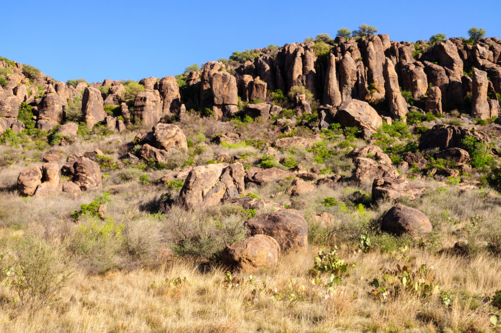
Texas has mountains — lots of them. The highest are the Guadalupe Mountains, which cross over the border from New Mexico. They’re joined by the Davis Mountains near Fort Davis, the Chisos Mountains in Big Bend, the Chinati Mountains in Presidio County, and the Franklin Mountains out in El Paso.
Between them, they offer some of the richest and most diverse topologies in the state. Each of Texas’ mountain ranges offers a challenge worthy of any Texan adventurer. Explore below.
Guadalupe Mountains
- Location: Culberson County
- Tallest peak: Guadalupe Peak (8,751 feet)
- Best spot: The view from Guadalupe Peak, the highest spot in Texas.
- Best way to explore: A couple of days backpacking on the Tejas Trail takes you through the heart of the range. If that sounds too tough, try the short hike along the Pinery Trail at Pine Springs.
Davis Mountains
- Location: Jeff Davis County
- Tallest peak: Mount Livermore (8,378 feet)
- Best spot: The Fort Davis National Historic Site, which gives historical context to the stunning scenery.
- Best way to explore: Get out your riding boots and ride horseback up the slopes of the volcanic formation. Or climb in a glider at Marfa Gliders and take in the scenery from a bird’s-eye view.
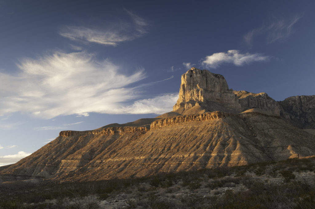
Chisos Mountains
- Location: Big Bend National Park
- Tallest peak: Emory Peak (7,835 feet)
- Best spot: The view from the South Rim of the mountainous desert stretching into Mexico — one of the national park system’s greatest treasures.
- Best way to explore: The popular Lost Mine Trail offers an easy day hike to one of the Chisos top peaks. Hardcore backpackers flock to the Outer Mountain Loop, a multi-day trek that takes you through all the glories of the Chisos.
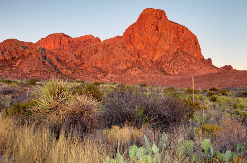
Chinati Mountains
- Location: Presidio County
- Tallest peak: Chinati Peak (7,728 feet)
- Best spot: The Native American caves with ancient pictographs on the walls.
- Best way to explore: Sadly, Texas Parks and Wildlife still hasn’t opened the Chinati Mountains State Natural Area, so today, the only way is to stay at the Cibolo Creek Ranch.
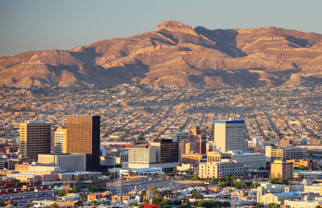
Franklin Mountains
- Location: El Paso County
- Tallest peak: North Franklin Mountain (7,192 feet)
- Best spot: The Ron Coleman Trail, which follows the spine of the southernmost tip of the Rocky Mountains.
- Best way to explore: El Paso natives love taking their bikes out on the extensive bike trails that wind through the desert mountains.
Looking to tackle more adventure? Head down Texas’ mountain ranges and try surfing in the wake of oil tankers off Galveston Bay.
© 2019 Texas Farm Bureau Insurance